Information Possibly Outdated
The information presented on this page was originally released on May 10, 2012. It may not be outdated, but please search our site for more current information. If you plan to quote or reference this information in a publication, please check with the Extension specialist or author before proceeding.
Last acre of soil surveyed completes century-old task
MISSISSIPPI STATE -- Technology may have changed in the 114 years since the national soil survey started, but the dedication of soil scientists engaged in the project has not wavered.
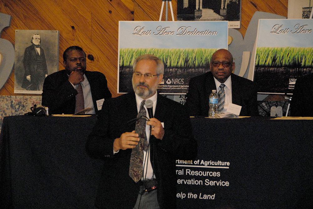
On May 8, partners from Mississippi State University’s Mississippi Agricultural and Forestry Experiment Station, the Natural Resources Conservation Service, and other natural resources agencies met in Jackson to celebrate the completion of an ambitious project: to map Mississippi’s soils on the acre level.
“To map over 30 million acres is a mindboggling scientific and technical accomplishment,” said Billy Kingery, MAFES scientist and president of the Professional Soil Classifiers Association of Mississippi. “But it’s not simply a map of the soils like a road map. This survey also offers suggestions for the uses of soils -- we call them interpretations -- to address the needs of people in such fields as agriculture, urban development, waste-water treatment and road-building. It’s a resource for anyone, anywhere in the world to use any time of day or night. That’s a big deal.”
Many agencies collaborated to assess the soil types in each county, but the soil scientists who did the field work received special recognition at the celebration.
“The soil survey is not just an effort of NRCS; it’s a cooperative effort of Mississippi State University, Alcorn State University, and other state and federal agencies,” said Al Garner, acting state conservationist. “But it’s the soil scientists, the boots on the ground, who have made this achievement possible. When you open a soil survey, you can see the work of agronomists, engineers, biologists and writers, who have put soil science into layman’s terms and made the interpretations user-friendly, so everyone can manage the land to preserve soil and water, our most important natural resources.”
Kingery said that the look and feel of soils is the starting place for putting them in a taxonomy.
“You have to put them into groups or classes so there’s a system,” he said. “Soils have different colors -- some are dark brown, almost black, and some are reddish or yellow. They have layers. That’s the beginning of a taxonomy. Some are sandy, silty or clay-based. Red soil tells you iron has oxidized, gray tells you the soil is wet, so now we’re into water availability and drainage. Slope or position in the landscape, climate, age, plants and microbes and of course the starting or parent material-- all of these factors influence the formation and properties of soil.”
David Pettry, retired MAFES soil scientist, and W.L. Giles Distinguished Professor, said people do not realize the wealth of soils in Mississippi.
“We have eight out of the 12 soil types found in the world, right here,” Pettry said. “I call the soil survey a blueprint for destiny -- it shows what we are capable of and where we’re going. The key is to keep our efforts in balance and harmony with nature. How are we going to adapt our practices to make sure these resources are available for our children and grandchildren?”
The initial work of the soil survey has been completed, and the next phase of the project will bring together Mississippi’s county maps. The original project was laid out by county, but the overall goal is a seamless, national map based on geographic land formations.
“The most important message from this celebration is that our soils are the living foundation of the home and provide for the needs of the household. We should take care of our soils as if our lives depended on them,” Kingery said.


